
80% of the human population in North America lives in urbanized areas. Green infrastructure makes cities livable, and Arbor Drone is committed to maximizing the benefits of green infrastructure for people and cities.
Our Mission
Arbor Drone is dedicated to pushing the technology envelope to drive forward the knowledge and care of green infrastructure - including orchards, vineyards, urban forests, hemp and woody plants in the landscape.
Arbor Drone performs services at several scales to meet your needs: property, landscape, and city-wide.

Orchard and vineyard health assessments, irrigation efficiency
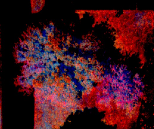
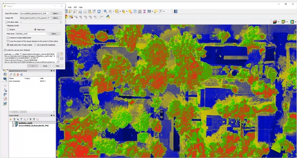
Early detection of Emerald Ash Borer using our proprietary EAB tool
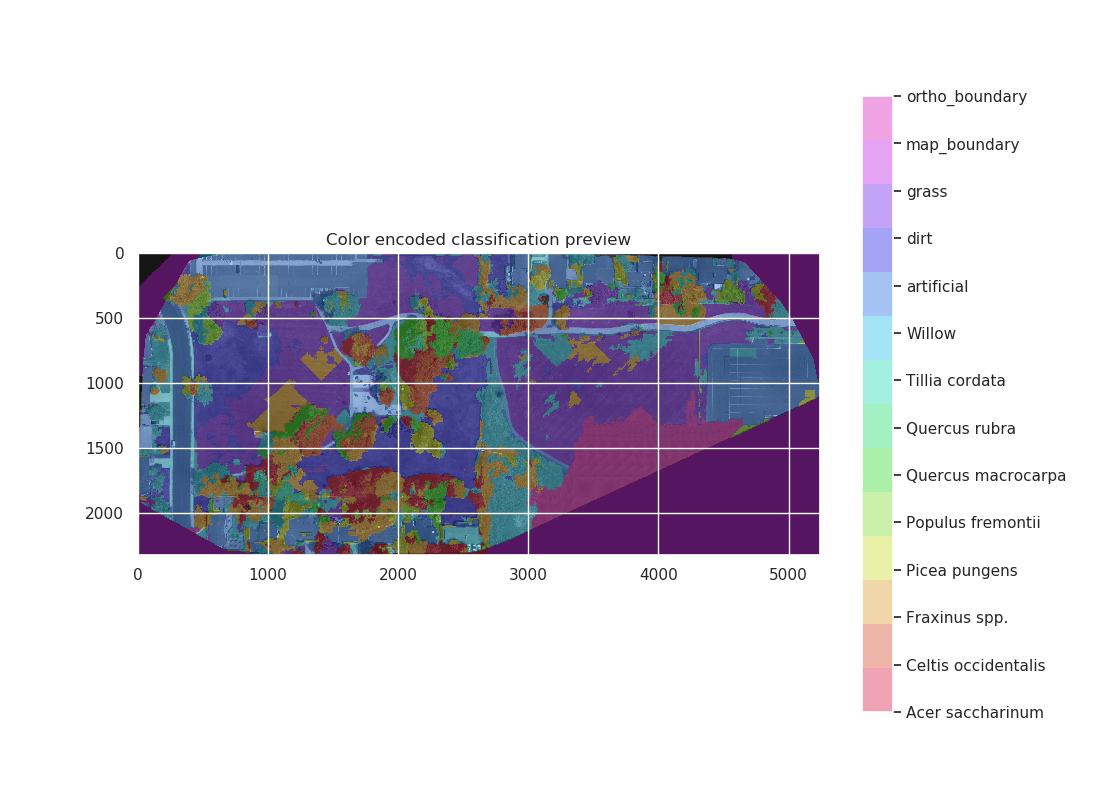
Large-scale urban forest canopy health assessments

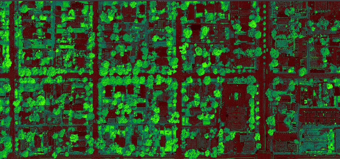
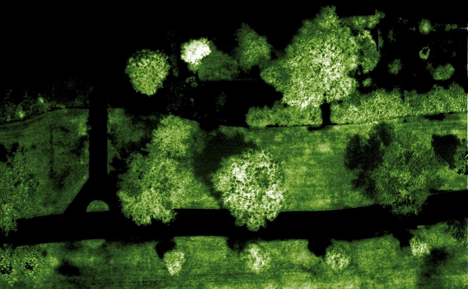
Urban forest canopy cover analyses

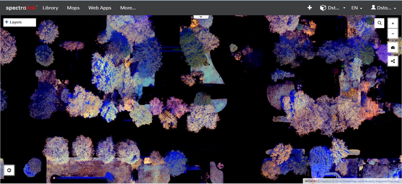
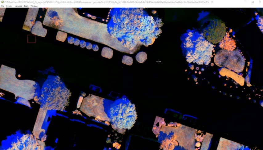
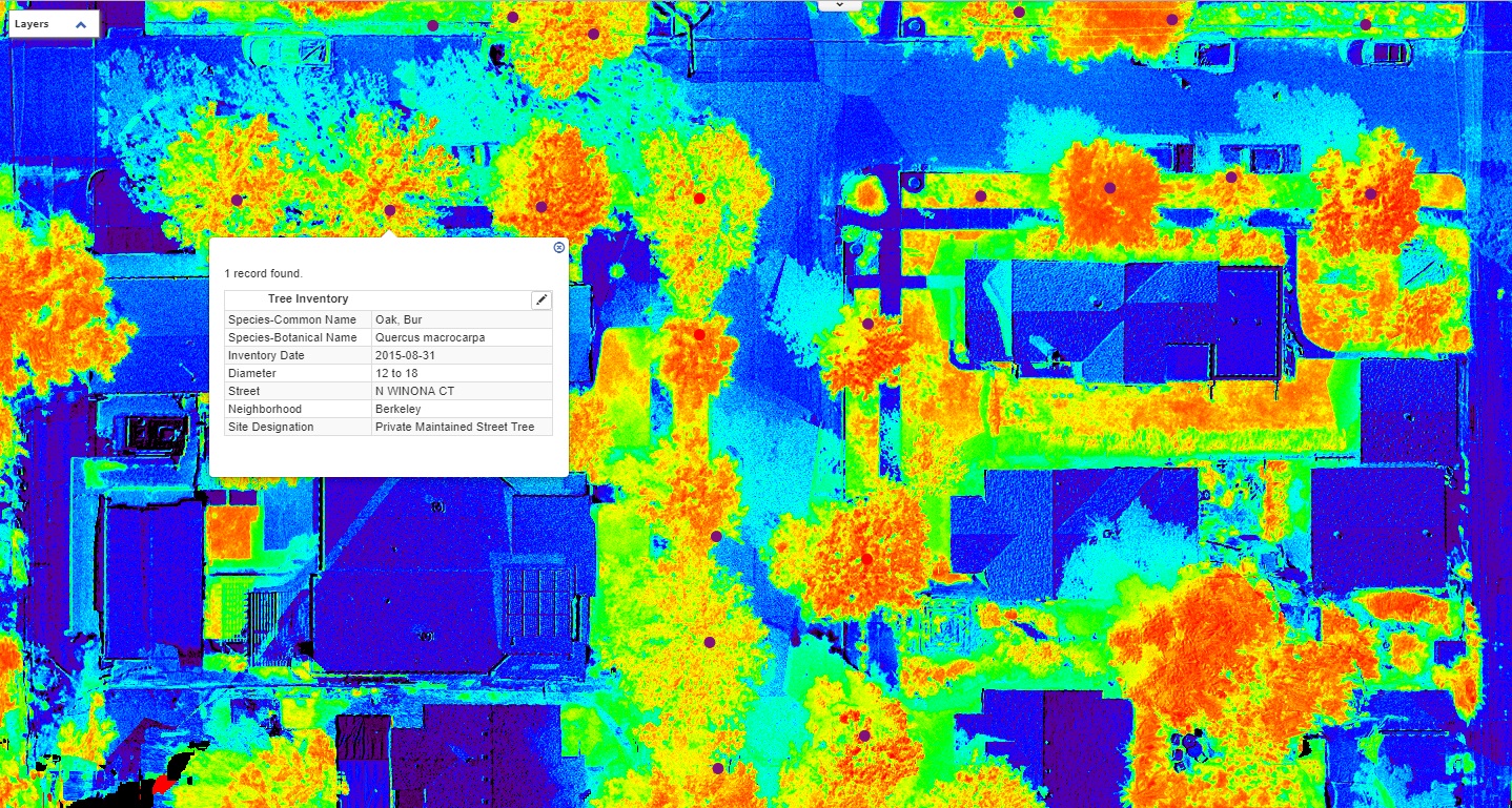
Infrared image of urban parkland
large-scale Pest detection and monitoring, inventories, Utility vegetation management
Arbor Drone is at the cutting edge of aerial urban forestry.
Arbor Drone can detect Emerald Ash Borer before woodpeckers, and we believe we are still the only company with this capability. We monitor for Emerald Ash Borer in Denver, Colorado, USA, with several important, game-changing outcomes.
In 2019 we are testing aerial inventories of the urban forest, canopy cover assessments, automated remote sensing of orchards, and Arbor Drone is partnering to develop unique processes and workflows for Utility Vegetation Management.
We also provide
Imagery and video for your project
Drone workshops for your staff
Public speaking for your education goals

No assignment too difficult

New perspectives on urban forestry and landscape management

Images and video for your project

Aerial imagery for your business

See a different side of your property

See what others can't

Track your restoration project accurately
in near-time

Hemp Chlorophyll Content Analysis tool for assessment of hemp health

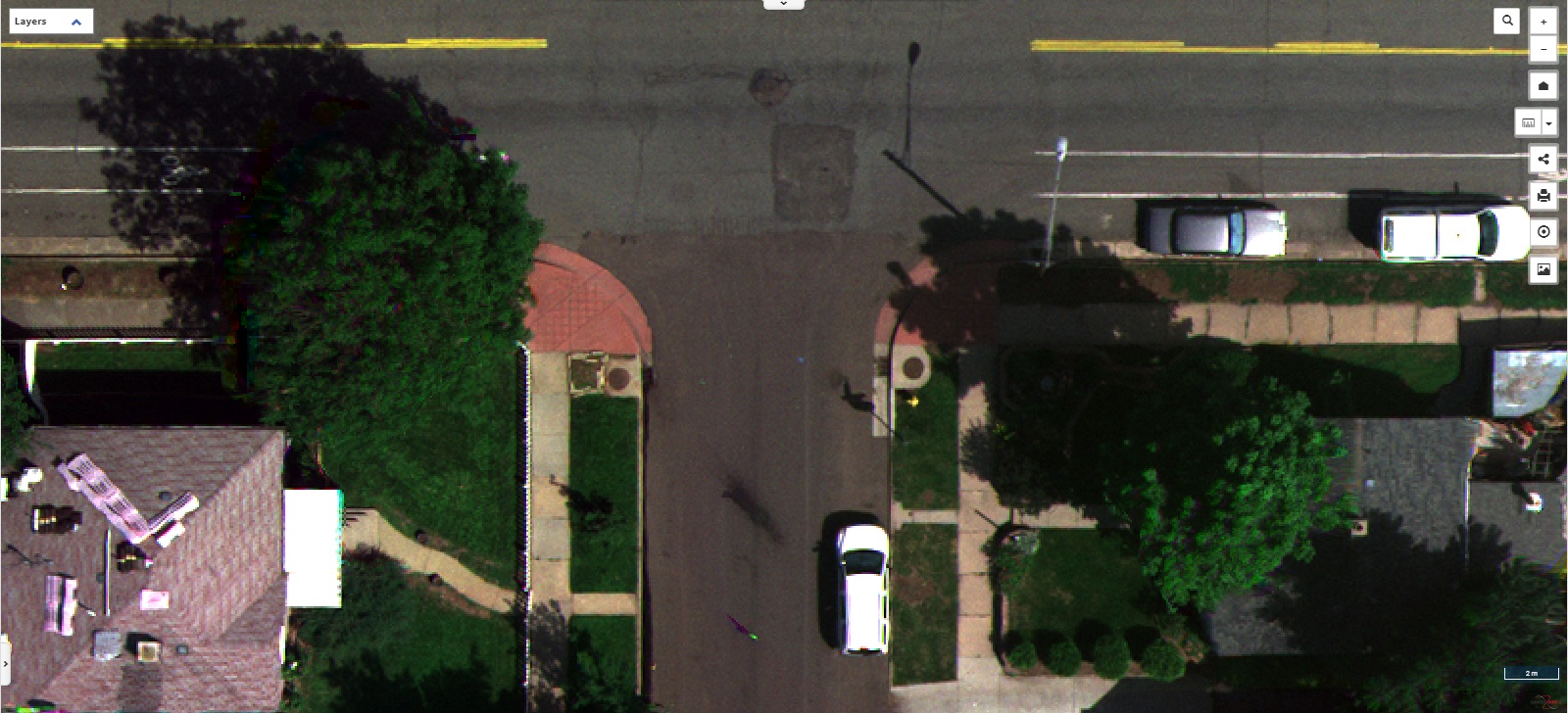
Low-resolution 30m AGL image of KWVI

KWVI Digital Surface Model - 30 m AGL = ~2 cm resolution
